Agricultural Field Mapping in Meade County and Central Kentucky
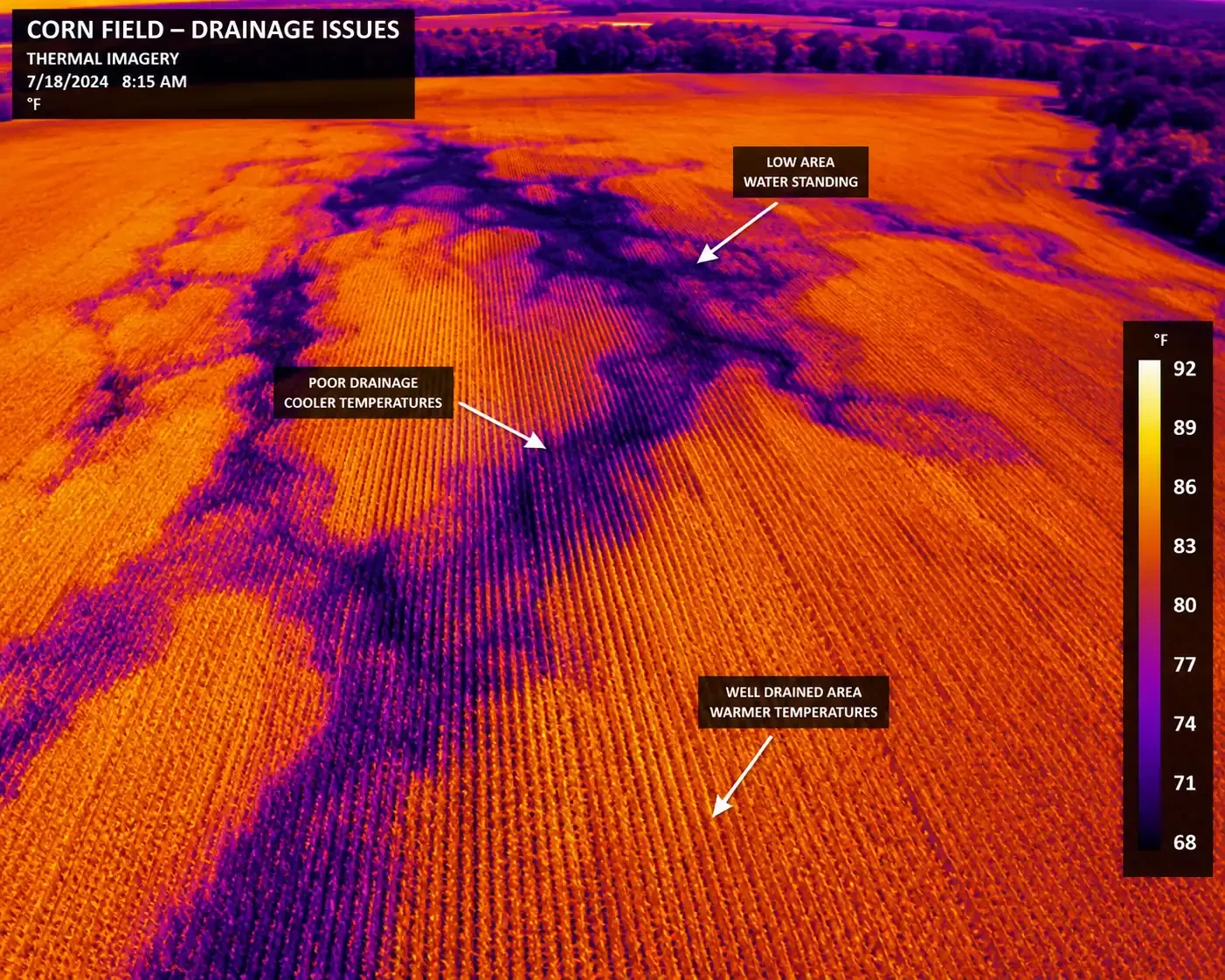
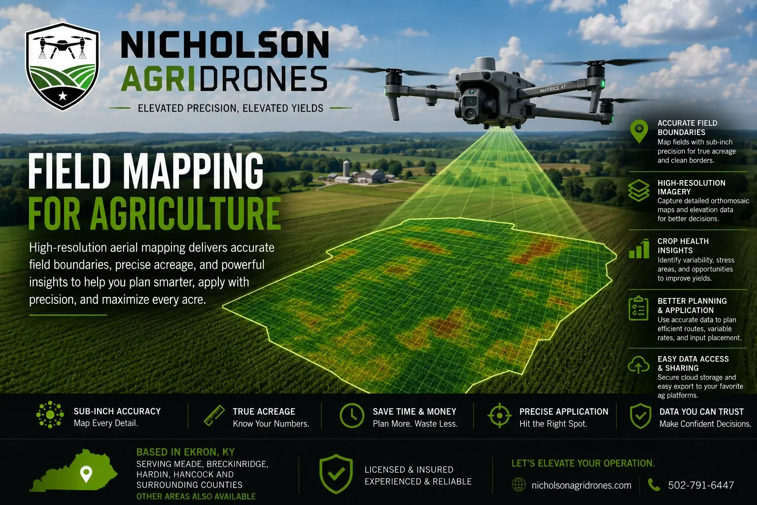
Nicholson AgriDrones provides high-resolution aerial and thermal field mapping for farms in Meade County and Central Kentucky. Mapping can document field boundaries, acreage, drainage patterns, wet areas, crop variability, storm damage, and locations that deserve closer ground inspection.